Running the Model
The model runs from the command line/terminal/console. You specify the model executable name (HAIL-CAESAR.exe) followed by the path name to the parameter file and the parameter file itself. The model will print out updates to the terminal window regularly, keeping you updated to the stage it is at and if there are any errors. The DEM of your catchment must be present in the same folder as your parameter file and must be correctly formatted.
You need a minimum of three input files:
- Parameter file
- DEM file of your catchment (currently only ASCII format is supported,
sorry
.bil/fltfans!) - Rainfall time series text file (There is currently no option to generate rainfall within the model, but this is coming soon)
Your input files (DEM etc, parameter file) can be in any folder you like, as the path to the input files is specified in the parameter file. This means the executable file can be kept separate, once it has been compiled.
The model is run like so:
./HAIL-CAESAR.exe [PATH-TO-FOLDER-WITH-INPUT-FILES] ParameterFile.txt
As you can see, the executable takes two arguments, the first is the path where your parameter file and input files can be found, the second is the name of your parameter file. Note that the names of the input DEM and rainfall file are specified in the parameter file.
When the model runs, it will print to screen the parameters that have
been read from the parameter file, for a sanity check. The debug version
prints a lot of other information to screen, to help find bugs and
errors. I suggest turning this off and running with the optimised
version unless you are trying to trace a bug. The program will update
you at certain stages of the data ingestion process. (This usually only
takes a few seconds). When the model runs, a counter displays the number
of elapsed minutes in model-time. (There is an option to turn this off
in the parameter file - set debug_print_cycle_on to no.
The model also prints out when it is writing output raster files, such as water depths, elevation difference etc. These files are outputted to the directory specified in the parameter file.
Outputs
HAIL-CAESAR generates similar outputs to CAESAR-Lisflood, i.e. a timeseries text file of the water discharge, and sediment fluxes; as well as raster files for water depths, elevations, erosion amounts, and so on. These can be outputted at an interval specified in the parameter file. Output files can be saved in ascii (.asc) form only currently.
DEM preparation
Important
You will need to check your DEM is correctly formatted before use. LSDCatchmentModel has specific requirements about DEM layout.
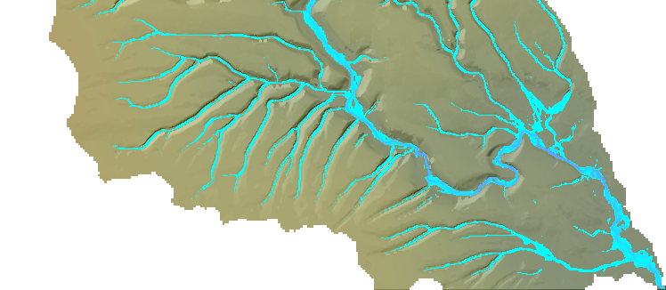
Currently, you will have to prepare your own DEM as a separate stage in the workflow. (Using whichever GIS tool you like, or preferably our own software!). The DEM should be set up so that one side of the catchment will act as the flow exit point. If you do not have the intended catchment outlet point touching one of the DEM edges, you will get unrealistic pooling of water and flood the entire catchment, as water will not be able to leave the model domain. In other words: There should be no ‘NODATA’ values between the intended outlet cell(s) and the edge the DEM file. This is very important for the model to work correctly. You may have to rotate your DEM or add on a channel artificially so that your catchment has a suitable outlet point at one side of the DEM file.
Note
The model will actually route water off all edges of the catchment, if the geometry of your catchment allows it. This might be fine for your intended use, but note that the discharge timeseries file will report total water discharge and sediment output as a total from ALL edge cells, not just the ones you think are the main catchment outlet point. As a side effect, you can use the model to simulate range scale runoff and multiple catchments, just be aware that you will get one value for total discharge for the whole DEM.
Technically, the DEM doesn’t need to be pit-filled, but it may be worthwhile to do so as parts of the model can be sped up when the catchment is in a low-flow or steady-flow state. Again, it depends on your intended usage of the model.
Model run time controls
A sample parameter file is provided for the Boscastle floods simulation. This is a 48-hour simulation using a 5m DEM, over a catchment 3km x 5.5km (about 700000 grid cells). It will take about 2-3 hours to run on a mid-range Desktop machine. (You can dramatically speed this up by using a coarser DEM.) Number of domain grid cells is the main control on compute time. With a multi-core machine, the run time can be significantly reduced, depending on the number of cores you have.
Tip
If running in a multi-core environment, you can get this down to around 11 minutes using a 48-core machine.!
Note that some of the parameters in the paramter file will have an effect on model run time. For example: in_out_difference, courant_number, and many of the minimum threshold values for flow and erosion can all be tweaked to get model speed up in some way. See the parameter file guide for advice.